Tropical Cyclone 8 moves towards Carolinas, may become Tropical Storm Helene
The storm system that could soon become Tropical Storm Helene is moving closer to the coast of the Carolinas.
The storm, now being called Potential Tropical Cyclone Eight, is bringing 50 mile per hour winds and heavy rains to the Carolina coast.
PTC 8 may not become a tropical storm, but the impact is already being felt.
Potential Tropical Storm Helene Path
Models show the storm is expected to make landfall on Monday and is expected to bring heavy rains to the Carolinas through Tuesday.
Some areas have already seen over a foot of rain.
Vehicles have been stranded due to the flooding.
Tropical Storm Warnings
A Tropical Storm Warning is in effect for most of the North Carolina and South Carolina coasts.
The warning is in place from Edisto Beach, South Carolina to Ocracoke Inlet, North Carolina.
Strong winds from the east will cause flooding in some coastal areas south of Cape Hatteras, especially near Pamlico Sound and the Neuse River. The flooding will be worse because the tides are higher than usual right now. Waves could be up to 3 feet higher than normal in these areas.
Flood Watches have been put into place for much of eastern North Carolina, including Raleigh and Wilmington. Northeastern South Carolina, including Myrtle Beach is also under a flood watch.
Local law enforcement have posted photos and videos of flooded roads in the area.
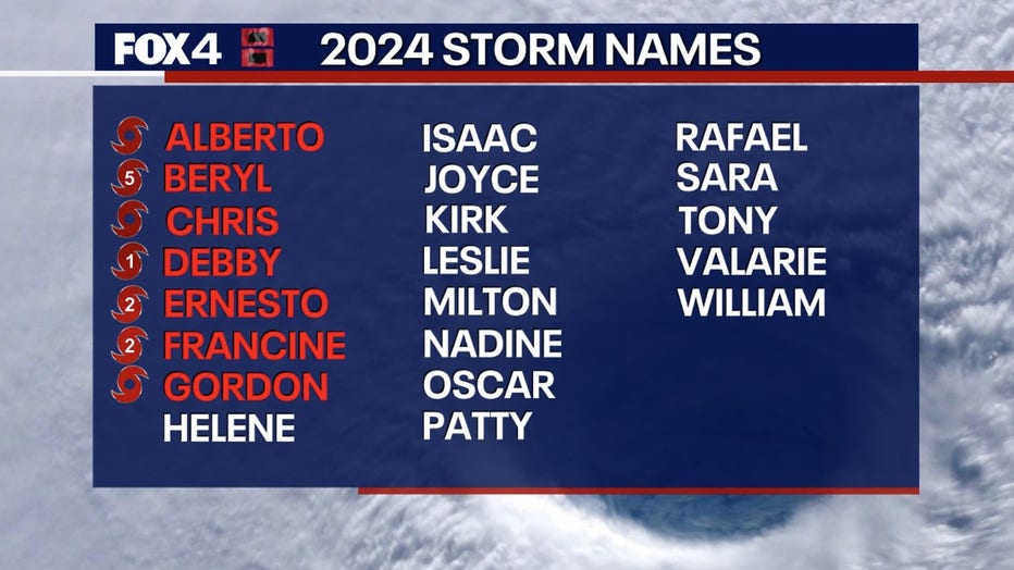
Storm Names 2024