

Houston weather: Tornado Watch issued north until Friday night, heavy rain chances Saturday
Houston weather: Tornado Watch on Friday; severe storm chances Saturday
A Tornado Watch has been issued until 9 p.m. Friday for our northern counties. For Saturday, plan on rain nearly everywhere in the Houston area.
NOTE: The tornado watch for Friday has expired, but a new tornado watch was issued for Saturday. Click here for the latest update.
HOUSTON - A Tornado Watch has been issued until 9 pm Friday for some of our northern counties, including Grimes, Madison and Trinity. A few storms are developing, and they could briefly turn severe with a brief tornado.

Windy and muggy pattern

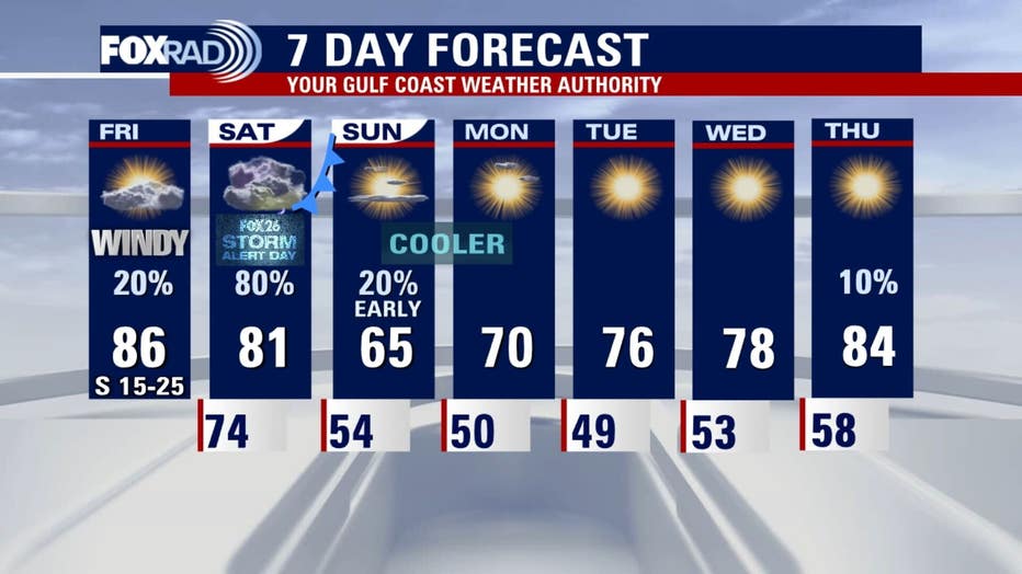
The rest of Friday will remain windy, muggy and warm.
Winds stream out of the south between 15–25 miles per hour with gusts near 30-40 mph. A Wind Advisory remains in effect until 7pm.
Be careful on the highways because high-profile vehicles like 18-wheelers can be pushed by brief wind gusts, so give them plenty of room.
Otherwise, you'll notice summer-like humidity and temperatures close to record highs in the upper 80s.
Changes are coming this weekend though.
Get news, weather and so much more on the new FOX LOCAL app
Saturday washout, then chilly
Houston weather: Storm Alert Day on Saturday
A Tornado Watch has been issued until 9 p.m. Friday for our northern counties. For Saturday, plan on rain nearly everywhere in the Houston area.
For now, plan on rain nearly everywhere in the Houston area on Saturday.
The Storm Prediction Center has updated our northeastern cities and counties in a 3/5 risk for severe storms. That includes The Woodlands, Conroe, Huntsville and Livingston. The rest of the viewing area is in a 2 out of 5 risk.

The main weather threats are heavy rain, strong winds, hail and the chance for tornadoes.

The biggest severe storm risk for Houston will likely be during Saturday afternoon, so plan ahead. Please make sure you have a way of receiving severe weather alerts. Download the FOX 26 Weather app.
Cooler and drier next week
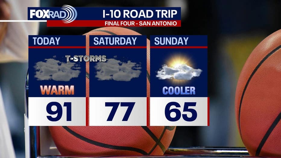
A cold front will move in after the rain late Saturday, ushering in cooler and drier weather. It will get chilly through early next week. Sunday highs will be in the mid-60s, about 20 degrees below today’s highs.
Wake-up temperatures early next week will be in the 40s to around 50. There is no concern for any freezing temperatures as those are extremely rare in April.
Download the free FOX Local app on your phone and smart TV to stay up-to-date on the latest weather where you live.
The Source: Your Gulf Coast Weather Authority