Continuing to track Kristy, possible Caribbean development
In the Eastern Pacific, we are still tracking Hurricane Kristy. The good news is that Kristy is moving WNW away from the United States and Mexico and should remain over water. Also, Kristy is expected to run into more wind shear and this will allow Kristy to become a post-tropical system by Sunday. In the Atlantic basin, no tropical systems are expected to form through the weekend. However, models are indicating a tropical system could form in the SW Caribbean by the middle of next week where water temperatures are still super warm. This likely would NOT head to Texas but could bring some heavy rain and flood potential to some of the Caribbean Islands and Florida. Hurricane season runs through November 30.
Top Videos
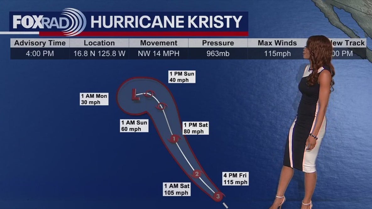
Continuing to track Kristy, possible Caribbean development
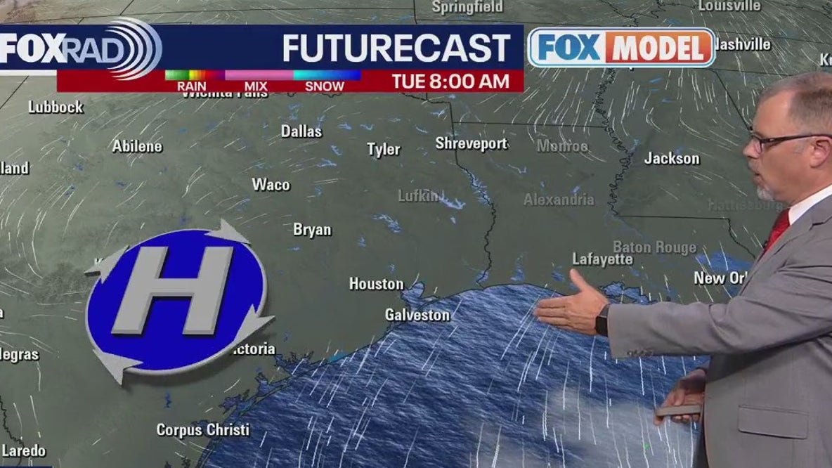
Houston weather: Beautiful days ahead

Court documents reveal sex trafficking plot