How to check the river, creek and bayou levels in Harris County
HARRIS COUNTY - It's prime hurricane season which means floodwaters in Houston and surrounding areas will be widespread.
You can't predict the weather but you can do your best to plan ahead and keep your family safe in hazardous conditions.
SIGN UP FOR FOX 26 DAILY EMAIL NEWSLETTERS!
Here are a few resources you can use to track water levels for rivers, lakes, and bayous:
- The Harris County Flood Warning System website gives users by the minute data for water levels in the area
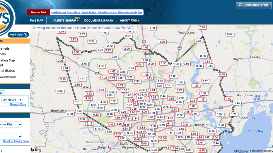
Harris County Flood Warning System website
- The National Weather Service monitors water levels multiple times throughout the day and is another great tool to use.
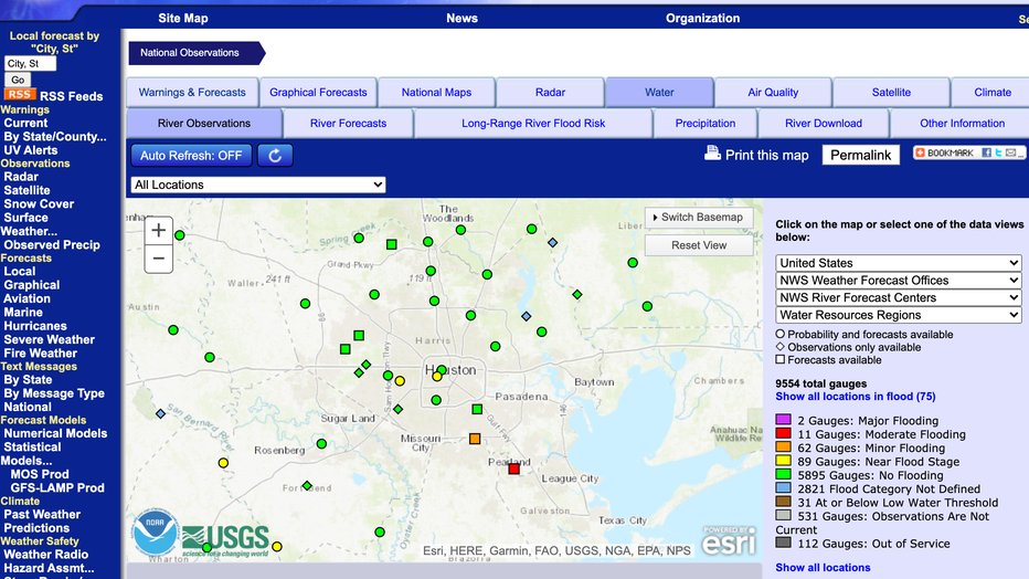
National Weather Service website
FOX 26 also has you covered, you can check the listings for high water locations if you need to travel.
Tropical Depression Beta is bringing heavy rainfall to the area causing high flood waters in a number of locations.
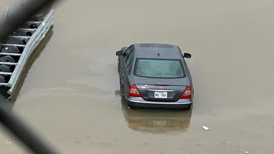
Hwy 288 at Holly Hall flooding
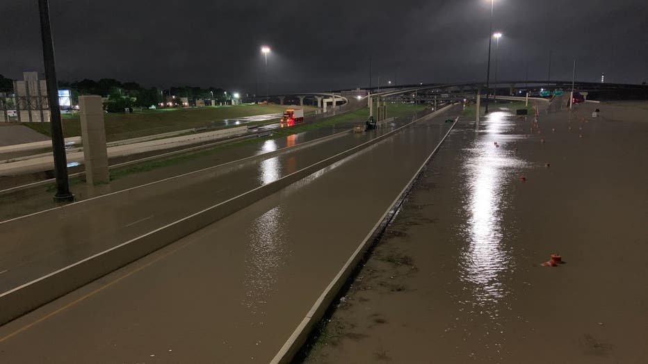
Hwy 288 at Holly Hall flooding
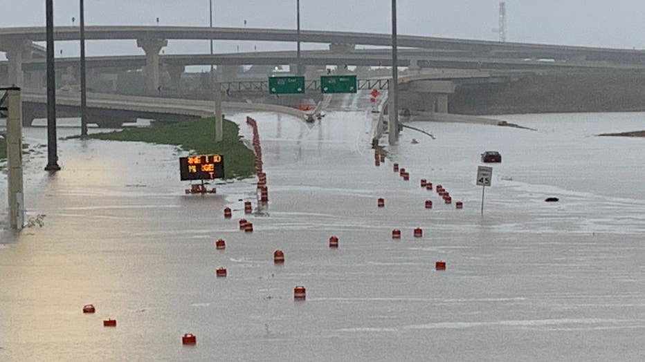
Hwy 288 at Holly Hall flooding
Harris County Judge Lina Hidalgo and several other public officials are urging citizens to be careful on the roads. "Your sedan is not a submarine," Hidalgo said in a press conference Tuesday.

