

Houston weather: Flood watch issued for Houston-metro area on Wednesday
HOUSTON - The National Weather Service has issued a flood watch for much of the Houston metro area for Wednesday.
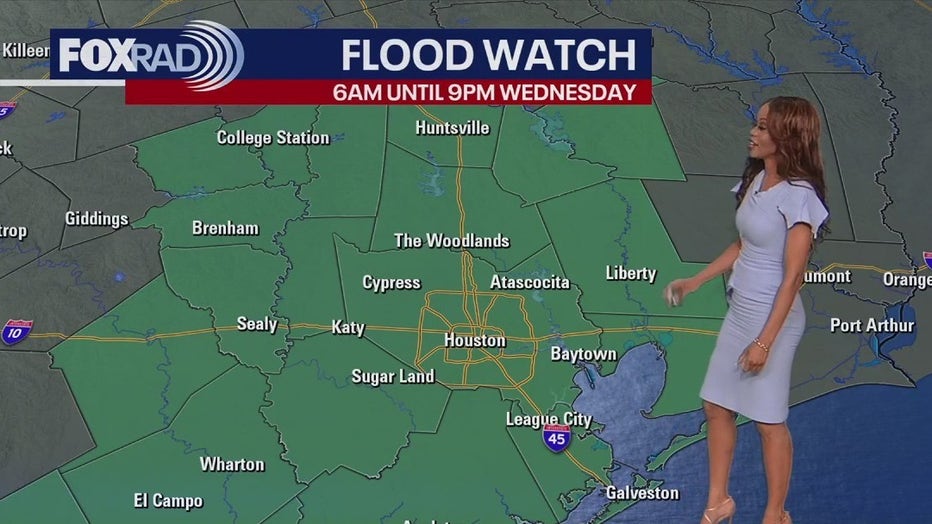
The watch is in effect from Wednesday at 6 a.m. through the evening at 9 p.m.
Even Tuesday evening, the threat of flooding will remain elevated, especially just north of Houston where some flood alerts have been issued, but models are showing a big batch of rain moving from the coast inland Wednesday morning into the afternoon.
Increasing moisture, along with the continued presence of a weak frontal boundary across the area and the approach of an upper-level disturbance, will result in widespread rainfall developing across portions of Southeast Texas beginning on Wednesday morning, according to the National Weather Service.
This could mean more flooded streets and problems for the morning rush.
Rain chances stay very high through Thursday with scattered downpours impacting your weekend plans. Rain chances get a bit lower next week but some rain is still possible.
Officials said the flooding risk is twofold as high rainfall rates along and south of the I-10 corridor may lead to flash flooding and rises along area rivers, creeks, and streams.
As a reminder, if you are out and about and come across a flooded roadway, remember to turn around and don't drown.
Also, be sure to stay weather aware throughout Wednesday and Thursday as both days are FOX 26 Storm Alert Days. You can stay in the know by downloading the FOX 26 Weather App, which will provide alerts directly to your phone based on your current location. The app is totally free and available on the Apple Store and Google Play store.