

Houston weather: Slight rain chances ahead of midweek cold front
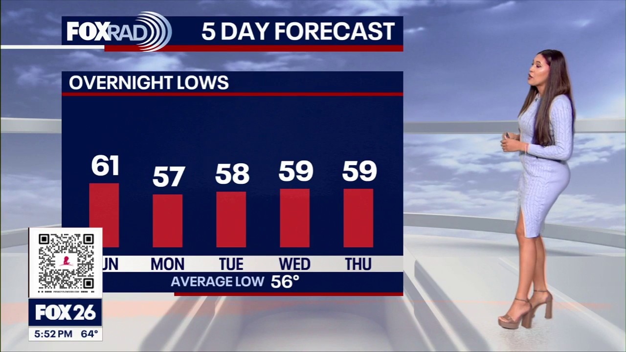
Houston weather: Nov 8 evening forecast
A few showers are possible between now and early Thursday, and a midweek cold front is expected to drop our temperatures by the end of the week.
Cooler Sunday, on-and-off-showers
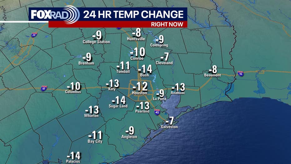
Sunday temperatures topped in the mid to upper 60s, some spots on the urban island maxed out at 70 degrees.
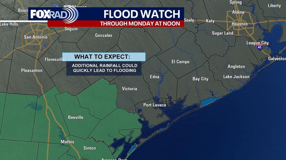
Areas Southwest of Houston could see periods of on and off rain, especially towards Victoria County. The best chance for heavy rain and flooding will be across South Texas, where there is a Level 2 out of 4 risk for street flooding Sunday, decreasing to a 1 out of 4 risk for Monday.
Showers continue this week
A few showers are possible on Monday. With thick cloud over, afternoon highs stay in the upper 60s to low 70s. Rain chances drop on Tuesday.
A cold front is approaching the region late Wednesday into early Thursday, which means we could see some coastal showers develop midweek.
Cool end to the week
Once our midweek front clears, temperatures will drop to end the week. Highs go from the upper 70s on Wednesday and Thursday, to the low 70s Friday and Saturday.
Wake up temps will also be in the 40s and 50s across the Greater Houston area!
The Source: Your Gulf Coast Weather Authority